![]()
Data and Products of the Global Deterministic Prediction System
The Global Deterministic Prediction System (GDPS) is a coupled atmosphere (GEM), ocean and sea ice (NEMO-CICE) deterministic numerical weather prediction model. Forecasts are carried out twice a day for 10 days lead time. The geographical coverage is global at 15 km horizontal resolution. Data is available on some thirty vertical levels and interpolated on a global latitude-longitude uniform grid with 0.15 degree horizontal resolution. Variables availability in number and time frequency is a function of forecast lead time.
Access
How to access the data
This data is available from the MSC GeoMet API / web services and on the MSC Datamart data server respectively:
- Data available via the GeoMet-Weather geospatial web services
- Data available on the MSC Datamart
- Statistically post-processed data on the MSC Datamart
- Experimental weather elements on the grid data available on the MSC testing data repository DD-Alpha
- Global ice analysis on the MSC Datamart
An overview and examples to access and use the Meteorological Service of Canada's open data is available. Example of a web map configured to display the GDPS.DIAG_NW_PT1H layer served by MSC GeoMet:
Discovery metadata
- The metadata of the Global Deterministic Prediction System is available on the Open Government Portal.
Products
List and links to the products available for this dataset:
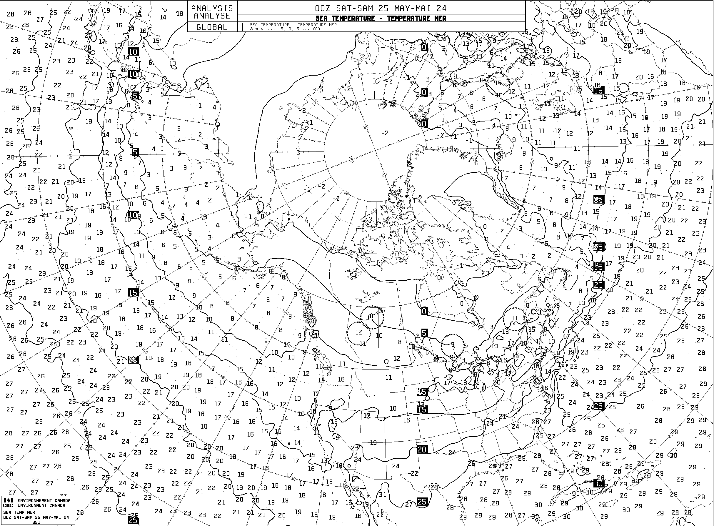
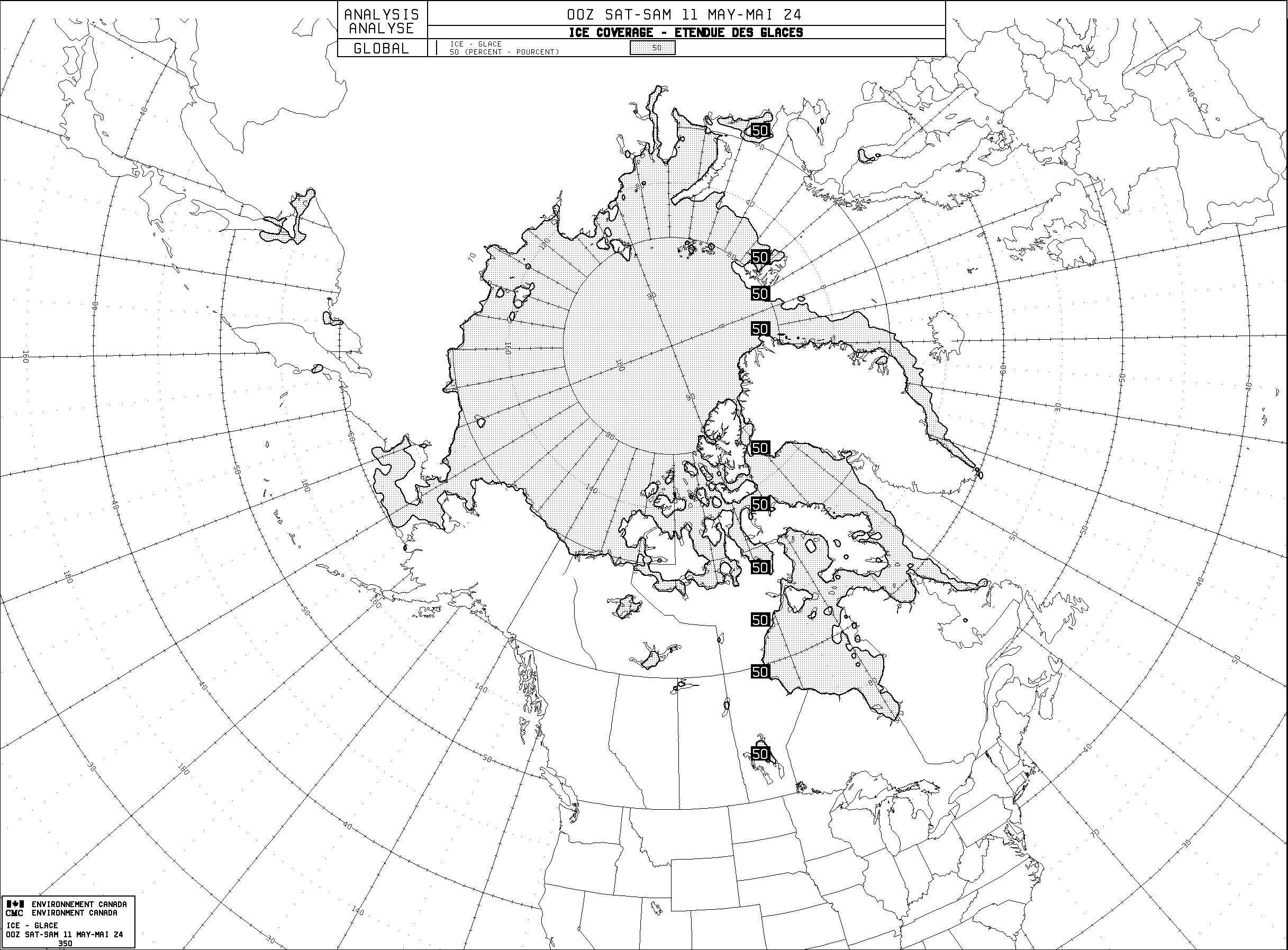
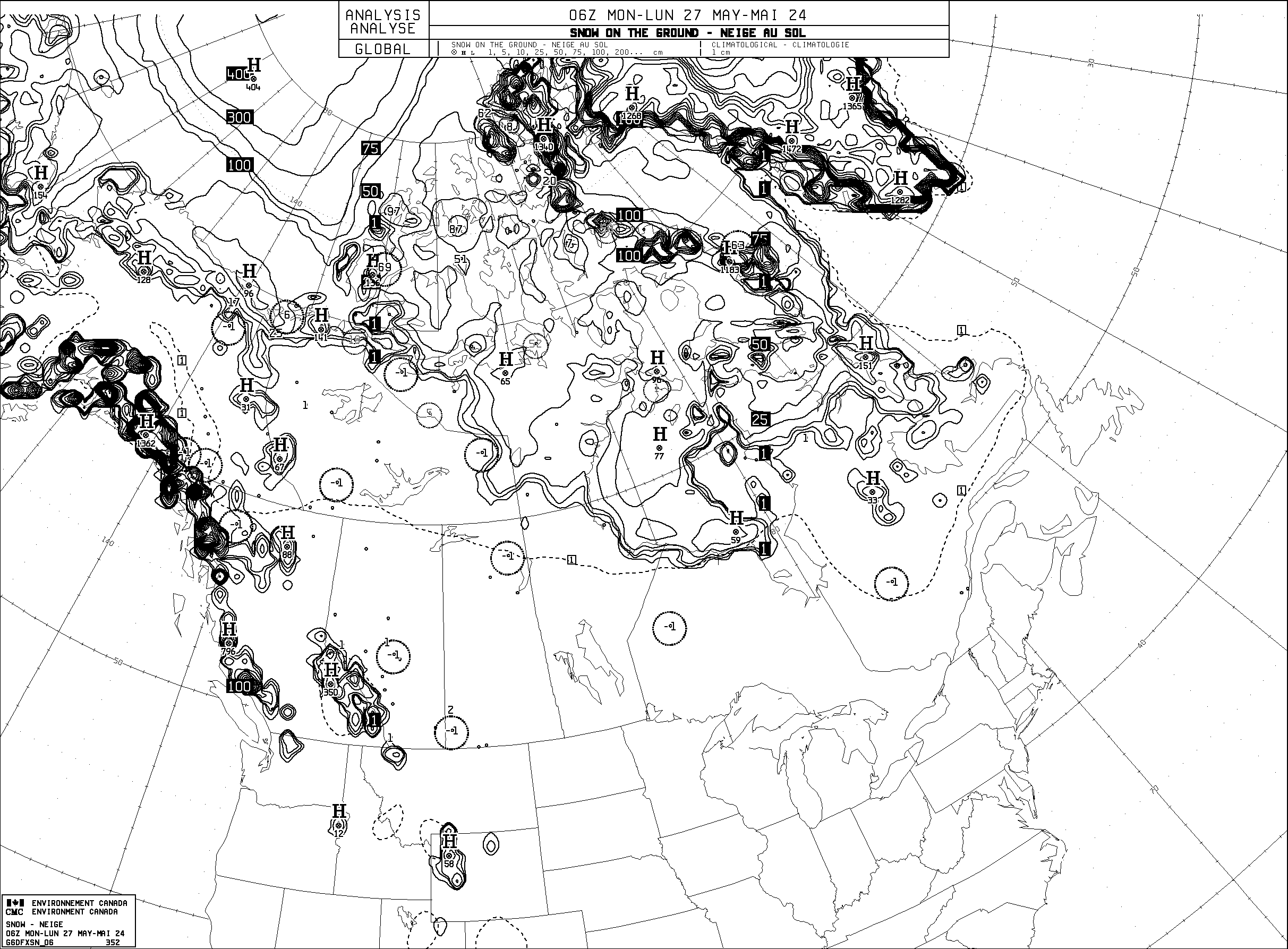
Analysis maps
Technical documentation
- Current version of the Global Deterministic Prediction System
- Current version of the statistical post-processing software package of the Global Deterministic Prediction System
- Technical note
- Technical note of the statistical post-processing software package of the Global Deterministic Prediction System
- Diagram of dependencies
- Factsheet associated with the latest innovation cycle
Changelog
The chronology of changes to the Global Deterministic Prediction System (GDPS) is available here.
Data of the experimental Global Deterministic Prediction System
The experimental Global Deterministic Prediction System (GDPS) is a coupled atmosphere (GEM), ocean and sea ice (NEMO-CICE) deterministic numerical weather prediction model where the GEM-predicted large-scale temperature and horizontal wind components are spectrally nudged toward the Global Environmental eMuLator (GEML) predictions, ECCC's data-driven artificial intelligence (AI)-based weather model. Forecasts are carried out twice a day for 10 days lead time. The geographical coverage is global at 15 km horizontal resolution. Data is available on some thirty vertical levels and interpolated on a global latitude-longitude uniform grid with 0.15 degree horizontal resolution. Variables availability in number and time frequency is a function of forecast lead time.
Access
How to access the data
This experimental data is available from the MSC GeoMet API / web services and on the MSC Datamart data server respectively:
- Experimental data available via the GeoMet-Weather geospatial web services
- Experimental data available on the MSC Datamart
- Experimental Global Environmental eMuLator (GEML) data available on the MSC Datamart
An overview and examples to access and use the Meteorological Service of Canada's open data is available.
Technical documentation
- Current version of the experimental Global Deterministic Prediction System
- Experimental Global Deterministic Prediction System factsheet
- Diagram of dependencies
- "Leveraging data-driven weather models for improving numerical weather prediction skill through large-scale spectral nudging"; Syed Zahid Husain, Leo Separovic, Jean-François Caron, Rabah Aider, Mark Buehner, Stéphane Chamberland, Ervig Lapalme, Ron McTaggart-Cowan, Christopher Subich, Paul A. Vaillancourt, Jing Yang, Ayrton Zadra; August 2025
Licence
The end-user licence for Environment and Climate Change Canada's data servers specifies the conditions of use of this data.
MSC Open Data Service Usage Policy
The MSC Open Data Service Usage Policy determines what constitutes an acceptable use of MSC Open Data services and provides users best practices for optimal use.